THIS APP IS VERY ACCURATE.!!! I WOULD ENCOURAGE YOU TO PURCHASE THIS PRODUCT.
Navigate Anywhere, Explore Everywhere in 3D
Get turn-by-turn GPS navigation with live traffic updates, capture geotagged photos, and virtually visit global landmarks through HD webcams – all in one powerful app.
1,000,000+
Downloads
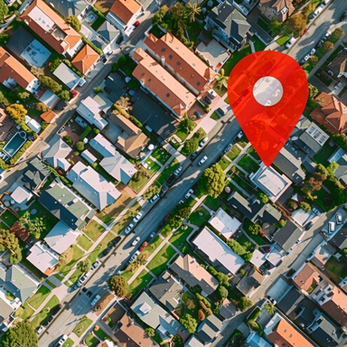
Everything You Need to Navigate and Explore
1
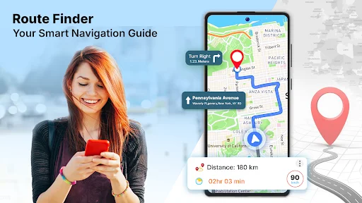
Smart GPS Navigation
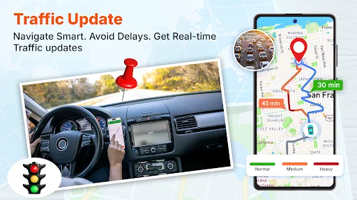
Find the fastest routes with real-time traffic updates and voice-guided directions. Save time by avoiding congested roads and get hands-free navigation so you can focus on driving safely.
2
GPS Photo Location Stamping
Never forget where you took a photo. Your images are automatically tagged with location address, coordinates, date, and time – perfect for organizing travel memories or documenting field work professionally.
3
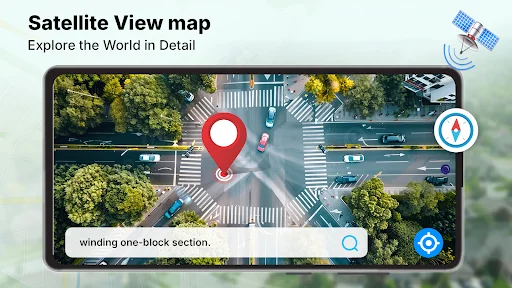
3D Satellite World Views
Preview destinations before you visit with high-quality 3D satellite imagery and street views of any location worldwide. Explore global maps and plan your trips with confidence.
4
Live Webcam Virtual Tours
Experience famous landmarks, beaches, and city streets in real-time through HD public webcams. Travel the world virtually from your phone and discover new places you want to visit.
Live Satellite View Earth Maps lets you explore 3D satellite maps, shortest routes, and publicly available global webcams. Capture the photos of beautiful place and stamp location on photo. With the GPS Map Camera, your photos become more than just visuals, they become location-tagged records. Navigate smartly with GPS satellite live earth map and live traffic updates. Explore the world map and navigate the routes using our GPS Navigation app. Whether you're driving through a city, searching nearby places, or wanting to visit global landmarks virtually via public webcams, this app brings these features to your fingertips. Experience the power of photography combined with geolocation intelligence — making every photo more informative, organized, and meaningful. Finding the shortest routes, checking live traffic maps, exploring nearby places, and viewing updated satellite maps are now easier than ever.
Key Features in Live Satellite View Earth Maps:
- GPS route finder with voice navigation
- GPS Map Camera brings a whole new level of detail
- Real-time traffic map updates
- 3D satellite & street view of any global location
- HD live camera streaming of global landmarks
- Nearby place search with GPS satellite live earth map
- Save frequently visited or favorite routes & addresses
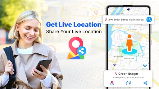
- Share live location sharing with others and use the address finder to navigate to their location
- User-friendly interface for super-easy map navigation
Advanced GPS Navigation map & Route Finder:
Find the shortest and fastest routes with turn-by-turn map directions along with real-time traffic updates. Our fastest route planner helps you avoid high-traffic routes. Voice navigation ensures hands-free navigation so that you can focus on the road.
GPS Map Camera: Geotag photos
This GPS location camera & timestamp enhances your photos with valuable real-time information. With geo stamp feature, every photo you capture is automatically stamped with the location address, latitude & longitude coordinates, date, time, and a live map view. Whether you're traveling, documenting fieldwork, or just want to remember exactly where a moment took place, photo map: GPS camera location makes it easy to organize and share your memories or records with context.
Live Satellite View & 3D Street Maps:
Zoom into any place on the 3D global map using high-quality satellite imagery. Experience places with 3D street views that provide a street view experience. You can explore worldwide 3D maps at your fingertips using our GPS Earth Map: Live Satellite app
Public Live Webcams & Earth Camera Streaming:
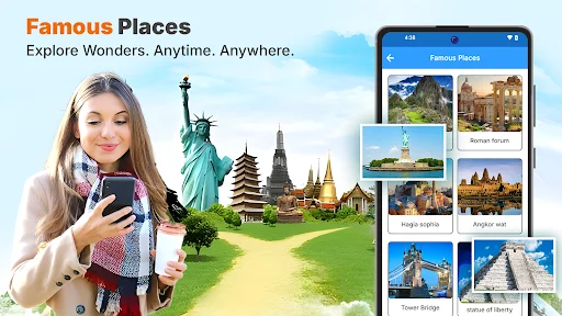
Take virtual tours of world-famous landmarks, city streets, beaches, mountains, and more through public webcams. Watch real-time video streams and live webcams in HD and explore scenes from natural wonders to space views using the live camera streaming feature.
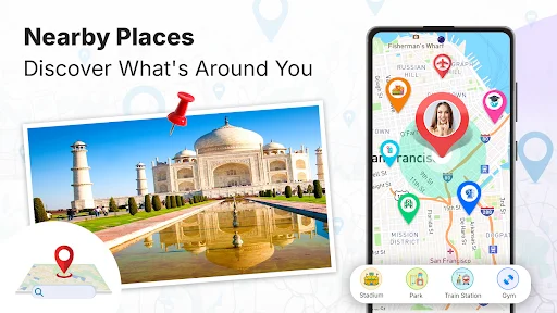
Nearby Place Finder & GPS Location Services
Easily find nearby restaurants, petrol pumps, ATMs, banks, hospitals, hotels, parks, and around the city. Then, get the best and shortest routes to the nearby places and navigate. Use the address finder feature to explore and navigate locations. Share your real-time location with others with a single tap.
Download the GPS Navigation: Live Satellite View Earth Maps now and navigate with real-time GPS directions, discover the shortest routes, and stay up to date with live traffic map alerts. Get 3D street view and satellite maps of any global location and experience the live scenes through HD live camera streaming and globally available public webcams. Download & enjoy seamless GPS navigation with our advanced GPS route finder and address finder features.
See the App in Action

Trusted by Over 1 Million Users
This is so cool to be able to track,see anything you need before you leave
..very good app..I recommend my friends to use this app
Need to see where you are? Use this APP!!!!
can' go any where out of town with out this
use alot when traveling